Data Settings
GeoServer permits to connect, load and publish data from a wide variety of sources.
Refer to the official documentation to learn how to use the GeoServer web interface to accomplish most common tasks, along with the different data formats served by GeoServer.
Note
Note There are many more data sources available through Extensions and Community modules. If you are looking for a specific data format and not finding it here, please check those sections.
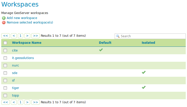
Workspace
Analogous to a namespace, a workspace is a container which organizes other items.
In GeoServer, a workspace is often used to group similar layers together.
Layers may be referred to by their workspace name, colon, layer name (for example topp:states). Two different layers can have the same name as long as they belong to different workspaces (for example sf:states and topp:states).
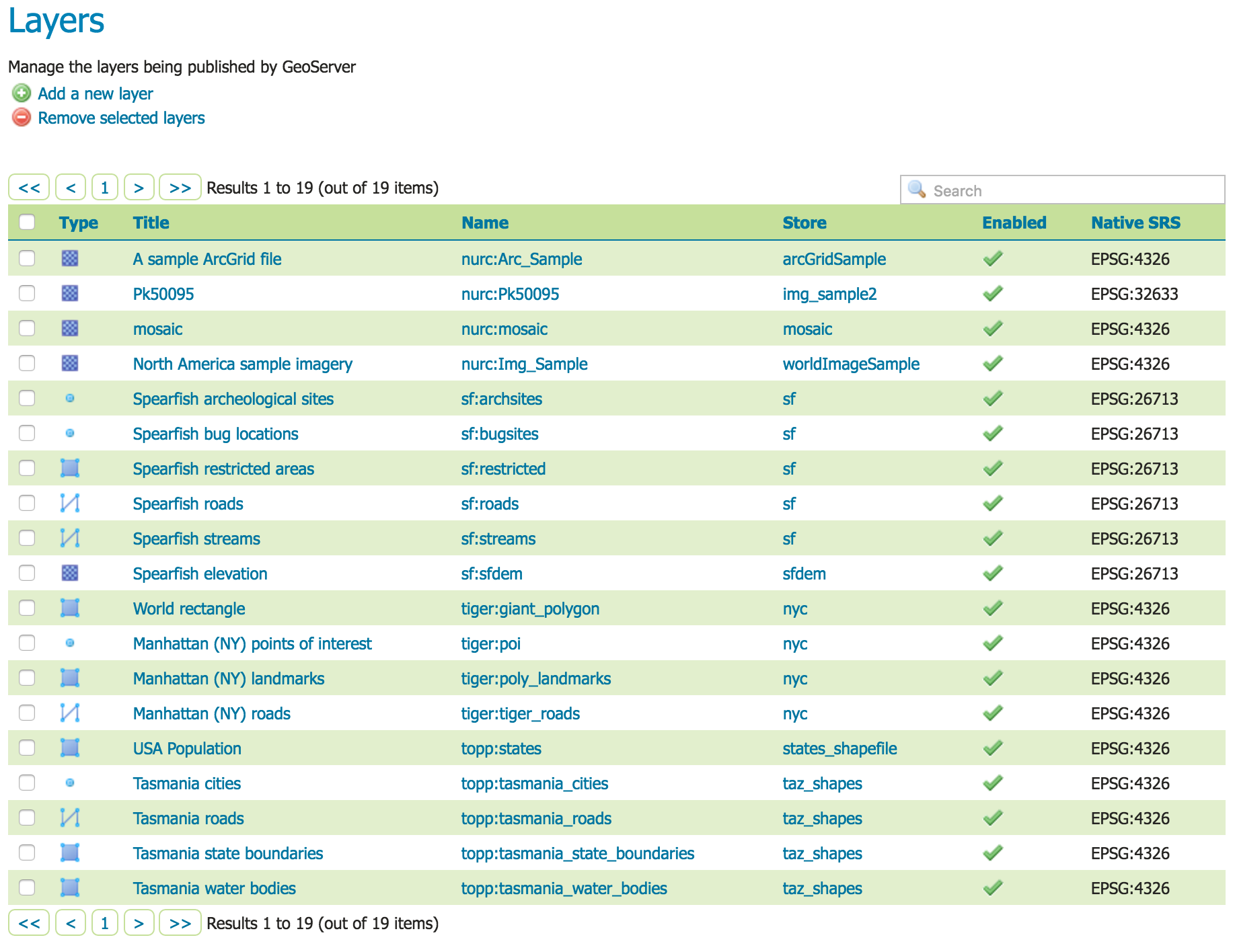
Layers
In GeoServer, the term “layer” refers to a raster or vector dataset that represents a collection of geographic features.
Vector layers are analogous to “featureTypes” and raster layers are analogous to “coverages”.
All layers have a source of data, known as a Store. The layer is associated with the Workspace in which the Store is defined.
In the Layers section of the web interface, you can view and edit existing layers, add (register) a new layer, or remove (unregister) a layer.
The Layers View page displays the list of layers, and the Store and Workspace in which each layer is contained.
Stores
A store connects to a data source that contains raster or vector data.
A data source can be a file or group of files, a table in a database, a single raster file, or a directory (for example, a Vector Product Format library).
The store construct allows connection parameters to be defined once, rather than for each dataset in a source. As such, it is necessary to register a store before configuring datasets within it.
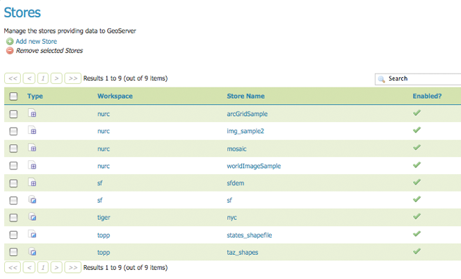
While there are many potential formats for data sources, there are only four kinds of stores.
For raster data, a store can be a file. For vector data, a store can be a file, database, or server.
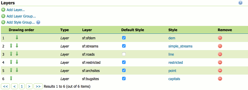
Layer Groups
A layer group is a container in which layers and other layer groups can be organized in a hierarchical structure.
A layer group can be referred to by a single name in WMS requests.
This allows simpler requests, as one layer can be specified instead of multiple individual layers.
A layer group also provides a consistent, fixed ordering of the layers it contains, and can specify alternate (non-default) styles for layers.